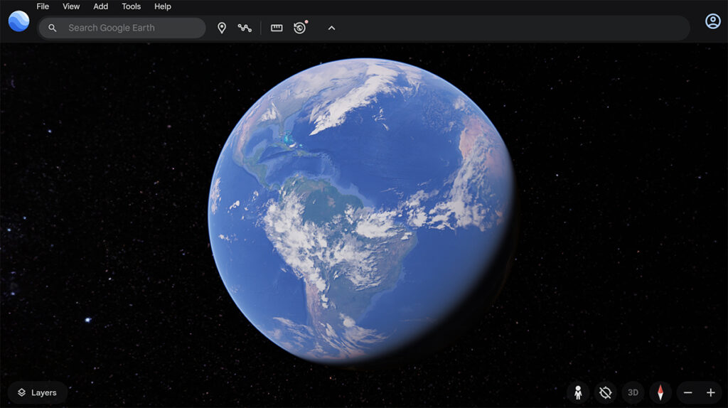
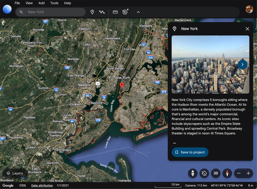
Exploring the world has never been easier, thanks to Google Earth. Whether you’re a traveler planning your next adventure, a student studying geography, or just someone with a curious mind, Google Earth provides an immersive way to view places from the comfort of your home. This powerful tool allows users to navigate through satellite imagery, 3D maps, and even street-level views with just a few clicks.
Google Earth is more than just a map—it’s a gateway to knowledge and discovery. From visualizing historical changes in landscapes to exploring outer space, it offers an array of features that make learning and exploration more interactive and engaging. In this guide, we will delve into how Google Earth works, its key features, practical uses, and what the future holds for this incredible technology.
What is Google Earth?
Google Earth is a powerful virtual globe, mapping, and geographical information program developed by Google. It allows users to explore satellite imagery, maps, terrain, and even 3D buildings across the globe. With features like Street View, historical imagery, and interactive storytelling, Google Earth has become an essential tool for education, research, travel planning, and more.
How Does Google Earth Work?
Google Earth integrates satellite images, aerial photographs, and GIS (Geographic Information System) data to create a seamless, interactive experience. The software pulls information from various sources, including NASA, the US Geological Survey (USGS), and private satellites, to provide real-time and historical views of locations worldwide.
Users can navigate through Google Earth using their computer, smartphone, or tablet by zooming in and out, rotating the globe, and accessing detailed views of specific places. The software also allows users to search for locations, measure distances, and even explore other planets and celestial bodies through Google Earth’s space feature.
Features of Google Earth

1. 3D Maps and Imagery
Google Earth provides stunning 3D imagery of cities, landmarks, and landscapes, making it a valuable tool for architects, urban planners, and travel enthusiasts.
2. Street View
With Google Earth’s Street View, users can virtually walk through streets and explore neighborhoods as if they were physically present.
3. Voyager – Interactive Guided Tours
Voyager is an educational feature that offers guided tours on various topics such as history, culture, climate change, and nature.
4. Historical Imagery
This feature allows users to see past satellite images, helping researchers track environmental changes, urban development, and natural disasters over time.
5. Measure Distances and Areas
Google Earth provides measurement tools that help users calculate distances and areas accurately, which is useful for real estate, geography, and navigation purposes.
6. Google Earth Pro – Advanced Features
Google Earth Pro offers additional tools such as high-resolution printing, GIS data importing, and advanced measurement tools, making it ideal for professionals.
How to Use Google Earth
Step 1: Access Google Earth
You can use Google Earth in two ways:
- Web Version: Visit Google Earth on your browser.
- Desktop Version: Download and install Google Earth Pro for more advanced features.
Step 2: Search for a Location
Use the search bar to enter the name of a place, address, or coordinates to navigate to a specific location instantly.

Step 3: Explore in 3D
Zoom in and tilt the view to explore locations in 3D. Use the navigation tools to move around and get a detailed look at your selected area.
Step 4: Use Street View
Click on the Pegman icon and drag it to any street to activate Street View and experience a ground-level perspective.
Step 5: Measure Distances
Use the ruler tool to measure distances between two points or calculate the area of a specific region.
Benefits of Google Earth
1. Educational Tool
Google Earth is widely used in schools and universities to teach geography, history, and environmental science through interactive visualizations.
2. Travel Planning
Before visiting a new place, travelers can explore locations, check out landmarks, and plan their routes using Google Earth.
3. Environmental Monitoring
Scientists and researchers use Google Earth to monitor climate change, deforestation, and natural disasters by analyzing historical imagery and satellite data.
4. Real Estate and Urban Planning
Real estate agents and city planners use Google Earth to assess properties, analyze landscapes, and plan developments efficiently.
5. Entertainment and Exploration
Google Earth provides an engaging way to explore the world, discover hidden places, and even travel to Mars and the Moon virtually.
Google Earth vs. Google Maps
While both Google Earth and Google Maps are developed by Google, they serve different purposes:
- Google Earth is focused on exploration, 3D visualization, and detailed geographical analysis.
- Google Maps is primarily used for navigation, route planning, and real-time traffic updates.
Future of Google Earth
With advancements in AI, machine learning, and satellite technology, Google Earth continues to improve. Future updates may include more detailed 3D maps, real-time satellite imagery, and enhanced AI-powered analysis tools.
Conclusion
Google Earth is a groundbreaking tool that allows users to explore the world from their devices. Whether for education, travel, research, or entertainment, it provides an immersive and interactive experience unmatched by any other mapping software. With continuous updates and improvements, Google Earth remains an invaluable resource for individuals and professionals alike.
Check Also:
- Google Maps: Features, Benefits, and How to Use It Effectively
- Google Sheets: The Ultimate Guide for Beginners and Advanced Users
- Google Docs: Ultimate Guide for Beginners and Advanced Users
- How to Use Google Docs | Complete Guide
- Pros and Cons of using Google Drive